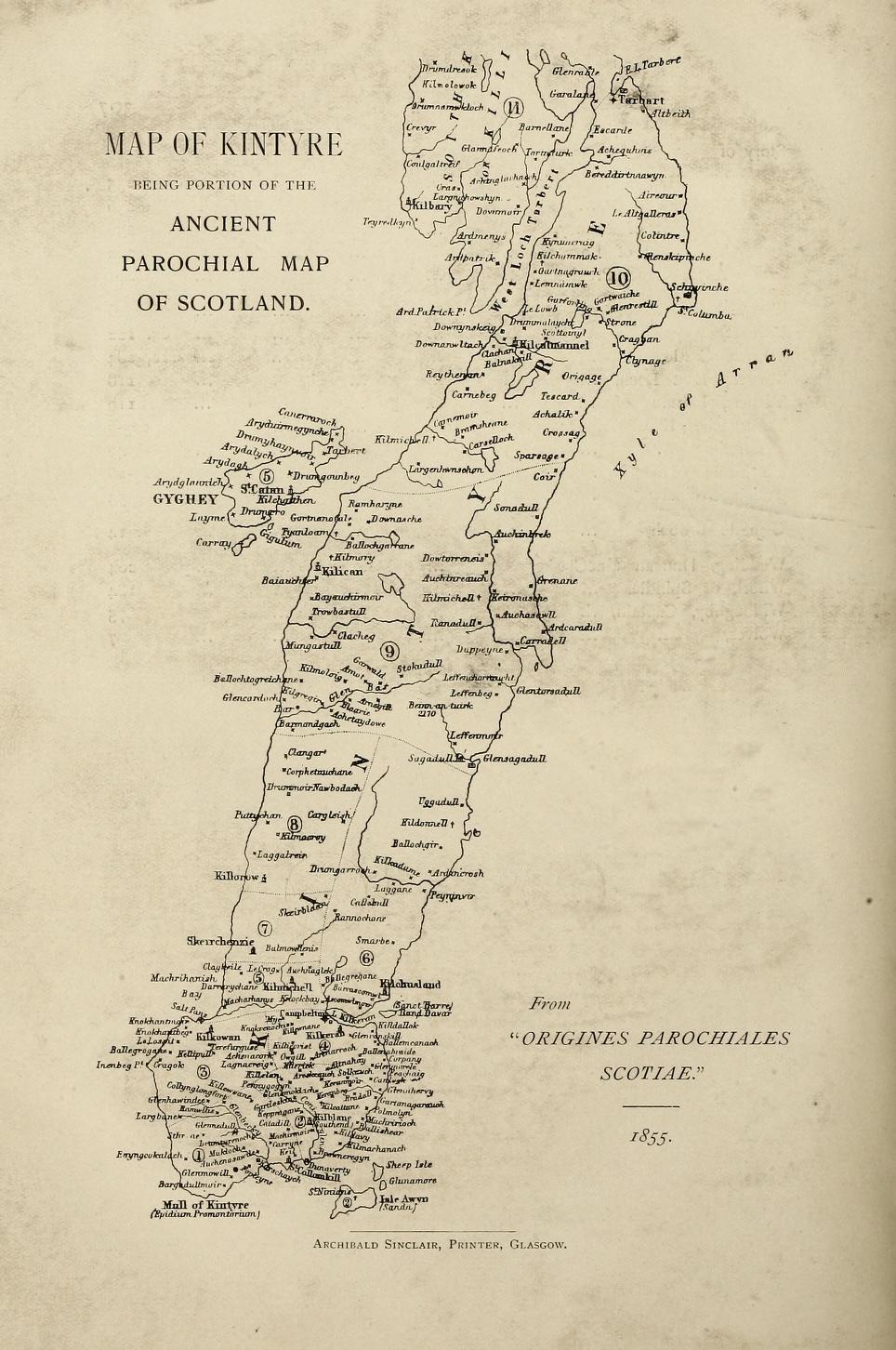
Map of Kintyre

Kintyre is a peninsula in western Scotland, with a long and varied history. The region was first settled by the Picts in the early first millennium, followed by the Gaelic kingdom of Dál Riata. In the 11th century, the Norwegian king Magnus asserted his authority over the region, and in the 12th century, Somerled, the husband of Godred Crovan‘s granddaughter, led a successful revolt against Norway, transforming Suðreyjar (including Kintyre) into an independent kingdom. In 1266, the Norwegian king ceded his authority over Suðreyjar to the Scottish king Alexander III. In the mid 13th century, Donald, Somerled‘s grandson, acquired Kintyre, together with Knapdale, Islay, and Jura. In 1293, king John Balliol established shrieval authority by creating the post of sheriff of Kintyre. In 1462, John, the then Lord of the Isles, plotted with the English king to conquer Scotland, and in 1475, he quitclaimed Ross (Easter, Wester, and Skye), Kintyre, and Knapdale, to Scotland. In 1607, after a series of hostile actions by the MacDonalds, King James VI ordered their lands in Kintyre to be transferred to Archibald Campbell, heir of the earlier Archibald. In 1899, counties were formally created, on shrieval boundaries, by a Scottish Local Government Act; Kintyre became part of the County of Argyll. Following late 20th century reforms, it is now within the wider region of Argyll and Bute.

